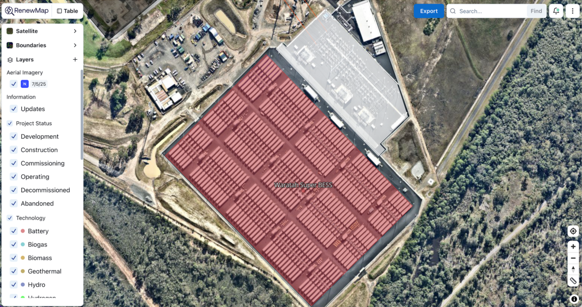
RenewMap has announced a partnership with Nearmap to bring regularly updated aerial imagery directly into its market intelligence platform in a move it says will provide developers, consultants, and decision-makers with a more up-to-date, national view of Australia’s renewable energy landscape.
Canberra-based RenewMap is a renewable energy market intelligence and project tracking platform. It currently provides stakeholders in the energy industry with near real-time information on more than 3,500 new and existing utility-scale energy projects across Australia and New Zealand. The collaboration with Sydney-based Nearmap will let users overlay frequently updated, high-resolution aerial content over its project mapping and data platform.
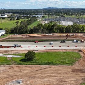
RenewMap said the integration allows visual analysis of renewable energy projects alongside key contextual layers, including infrastructure footprints and spatial data, renewable energy zones, local government areas, and resource maps.
“With the ability to remotely inspect sites and validate asset locations, users can reduce reliance on outdated or low-resolution satellite content,” the company said in a statement.
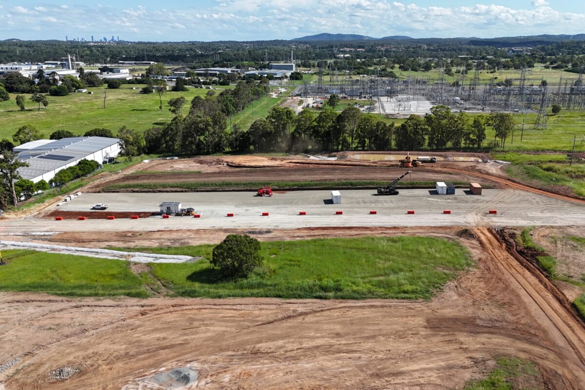
RenewMap co-founder and Director Alex Thompson said the integration of the aerial imagery will allow real-time validation of ground conditions at solar, wind, battery energy storage, and transmission project sites and a more current view of Australia’s renewable energy landscape.
“The integration will allow RenewMap users to access Nearmap content, high-resolution up-to-date aerial imagery and overlay it in the RenewMap platform,” he said.
“RenewMap tracks a range of different data on utility scale energy projects across the country and having access to up-to-date imagery from Nearmap brings a new level of ground truth to our platform. Whether our users are prospecting for new energy sites, tracking construction progress or analysing industry trends, this integration means better data, less uncertainty, and more confident outcomes.”
Nearmap Senior Director of Survey and Geospatial Content Operations M’Shenda Turner said the company’s imagery gives RenewMap users a clear, consistent view of how energy projects and surrounding landscapes are changing over time.
The company says its in-house camera technology and software platform provide frequent captures and coverage of up to 95% of the Australian population.
“Nearmap delivers unmatched coverage and resolution,” Turner said. “When paired with RenewMap’s project data, our customers can see what’s really happening on the ground, with clarity and context, giving them the confidence to make better decisions.”
Dan Paull, Nearmap Executive Vice President and General Manager for Australia and New Zealand, said combining the company’s content with RenewMap’s project intelligence will help energy professionals make “faster, more informed decisions, whether they’re planning, building, or managing clean energy assets.”
“In a sector defined by rapid development and tight deadlines, access to accurate, up-to-date location data is essential,” he said.
This content is protected by copyright and may not be reused. If you want to cooperate with us and would like to reuse some of our content, please contact: editors@pv-magazine.com.


By submitting this form you agree to pv magazine using your data for the purposes of publishing your comment.
Your personal data will only be disclosed or otherwise transmitted to third parties for the purposes of spam filtering or if this is necessary for technical maintenance of the website. Any other transfer to third parties will not take place unless this is justified on the basis of applicable data protection regulations or if pv magazine is legally obliged to do so.
You may revoke this consent at any time with effect for the future, in which case your personal data will be deleted immediately. Otherwise, your data will be deleted if pv magazine has processed your request or the purpose of data storage is fulfilled.
Further information on data privacy can be found in our Data Protection Policy.