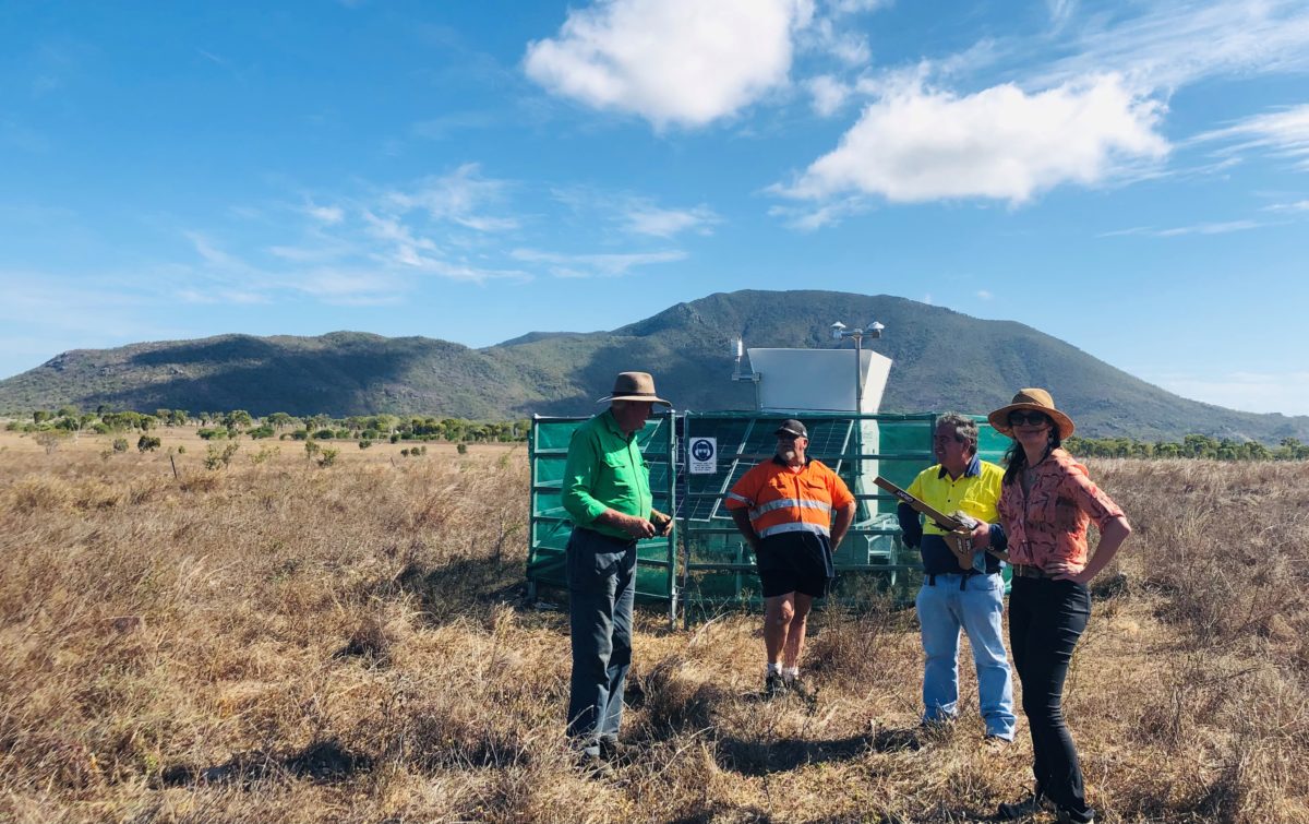
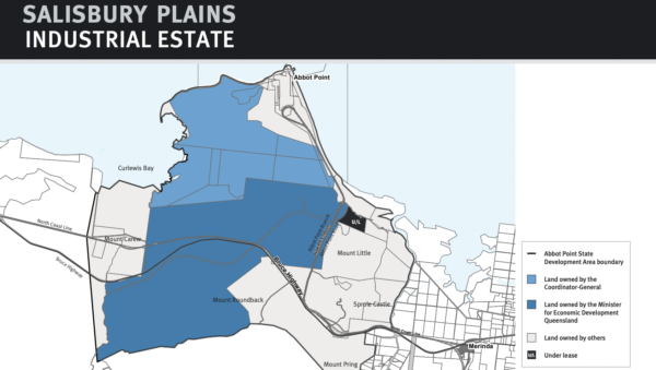
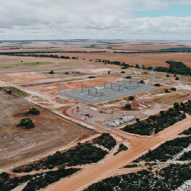
Economic Development Queensland is working with Australian resource monitoring company Fulcrum3D to, for the first time, make solar and wind resource data publicly available as part of a strategy to encourage large-scale renewable development in the north coast of Queensland. Specifically, the government wants to see its 6,355 hectares of freehold land at Abbot Point, just north of Bowen, transformed by major projects to become the Salisbury Plains Industrial Precinct.
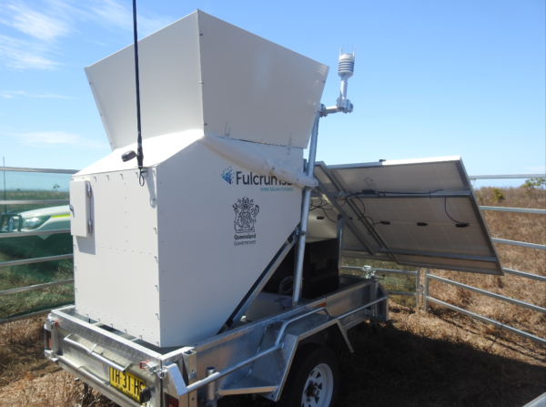
The project’s technology parter is Fulcrum3D and uses their flagship Sodar portable monitoring unit, fitted with additional pyranometers, with that data made available through its data management system FlightDECK around the clock.
“We’ve been monitoring the downloads and they’re certainly being accessed and accessed a fair few times,” Fulcrum3D’s founder and managing director, Colin Bonner, told pv magazine Australia.
“From our perspective, it’s fantastic to see proactive government strategy and policies,” he said. “That’s sort of been driven by industry,” Bonner added, noting that in the 10 years since he founded the company government’s have tended to be quite sluggish with policy reform and adoption of renewables.
While the 24 month program is still ongoing (data monitoring commenced back in November 2020), Bonner said that so far it has demonstrated “strong potential” for both wind and solar projects.
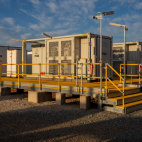
The technology
Fulcrum3D’s Sodar product launched the company back in 2011, and works similarly to a sonar on a submarine, scattering sound off thermal turbulence in the atmosphere through a pulse sent out every couple of seconds.
With the rise of wind-solar colocation, Bonner said most developers also opt to add a few pyranometers to monitor solar irradiance on site, with the company using German Kipp & Zonen’s SMP11.
Fulcrum3D
“The aim of the game here is to reduce [yield] uncertainly,” Bonner said. He noted that there’s all kinds of ways to collect solar irradiance data, with satellite data usually having a margin of error between 5% to 10%. Using a pyranometer on site brings that uncertainly down to between 3% to 5%.
Each of the Sodar units collects 5 GB to 10 GB of data each month, with a major part of Fulcrum3D’s offering then the cyber infrastructure which manages these immense datasets.
This data is usually highly confidential, of course, seen by no one except the developers and their technical advisory firms. This is the first time the company has worked with a government to make it public – though Bonner said it probably won’t be the last.
Model piques government interest
“We are in discussions with other government departments in different states,” he said, though he was unable to give any more details on precisely who they were.“But certainly other government bodies [are] exploring a model of demonstrating the land they manage or have access to has good resources.”
He described the Salisbury Plains project as a great opportunity. “Because it’s the government and they already have land rights, they are trying to attract developers to that area. So it’s in their interest to basically make it public… it’s almost leaning into the ethos of the Renewable Energy Zones where they are trying to encourage developers to work together to have a more efficient process.”
Economic Development Queensland was unable to give pv magazine Australia any indication about whether their strategy had enticed any developers to date, classifying the information as sensitive.
This content is protected by copyright and may not be reused. If you want to cooperate with us and would like to reuse some of our content, please contact: editors@pv-magazine.com.


1 comment
By submitting this form you agree to pv magazine using your data for the purposes of publishing your comment.
Your personal data will only be disclosed or otherwise transmitted to third parties for the purposes of spam filtering or if this is necessary for technical maintenance of the website. Any other transfer to third parties will not take place unless this is justified on the basis of applicable data protection regulations or if pv magazine is legally obliged to do so.
You may revoke this consent at any time with effect for the future, in which case your personal data will be deleted immediately. Otherwise, your data will be deleted if pv magazine has processed your request or the purpose of data storage is fulfilled.
Further information on data privacy can be found in our Data Protection Policy.