pv magazine Australia: What can DroneDeploy do for renewable energy projects? Particularly large-scale solar?
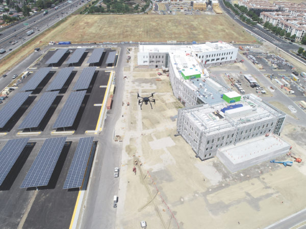
Adam Savage, APAC GM: DroneDeploy’s platform benefits solar energy projects at every step of the project lifecycle – from saving time during the surveying and design phase to enabling safer inspections. For both residential and large-scale commercial projects, DroneDeploy helps solar companies generate accurate 3D maps, ensure panels are working at maximum capacity, and spot potential safety and repair issues in a fraction of the time it would take teams through manual inspections.
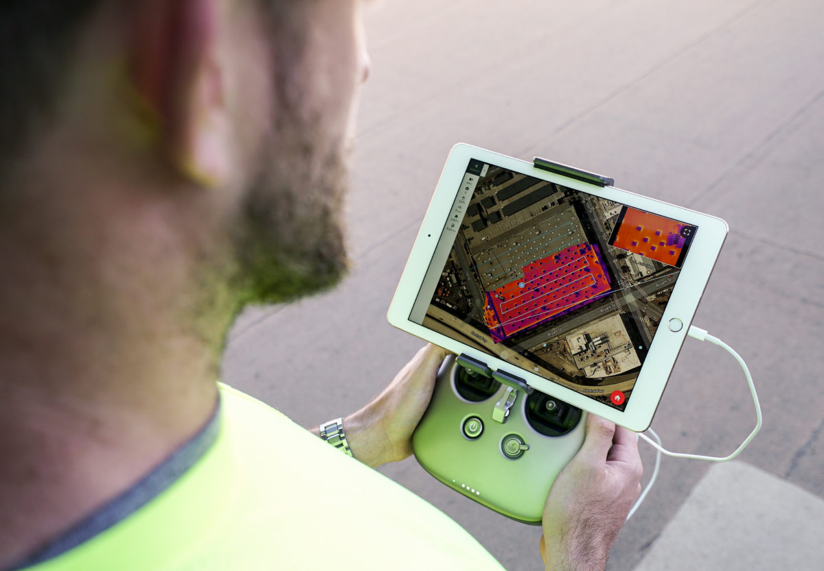
By capturing comprehensive aerial data, crews reduce hours spent on physical inspections and improve worker safety by reducing the amount of time they spend on roofs or out in remote solar fields. DroneDeploy features such as Thermal Live Map are especially useful for solar companies as they can detect drops or abnormalities in energy outputs, which lead to dirty, damaged, or malfunctioning panels. This ability to capture and share aerial data and maps also dramatically improves communication between solar companies, operators, and inspectors, particularly as remote collaboration becomes as essential as ever.

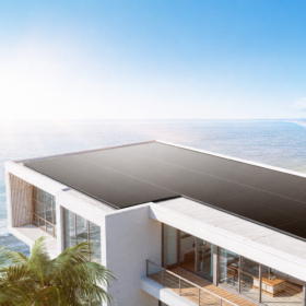
Image: DroneDeploy
Is DroneDeploy already working with large-scale solar developers in Australia? If so, which developers and which projects?
While we can’t share project-specifics, DroneDeploy currently works with a variety of both large-scale and regional solar developers in Australia. We’re looking forward to expanding our engagement with the entire APAC region through our new Sydney office.
But I can say that collectively, DroneDeploy’s current and past customers span everything from global solar giants to more regional residential and commercial installers. In the U.S, DroneDeploy currently services Sunrun, the largest residential solar installer in the country. For Sunrun, drones have even become part of their COVID-19 response by enabling “contact-free” rooftop surveying and consultations.
Other companies have used DroneDeploy’s platform to streamline their prospecting and design process by replacing ground surveys. Instead of relying on publicly available data or conducting costly and labour-intensive ground surveys when scoping out prospective sites, DroneDeploy is used to gather real-time, topographical data to inform decision-making and improve collaboration during the design process.
Do the drones used for renewable energy projects have any special features that the typical drone lacks?
DroneDeploy’s software empowers solar customers to get the most out of their drone usage. Most of DroneDeploy’s solar customers extract a lot of value from our Thermal Live Map feature. The Thermal Live Map allows customers to quickly detect any damages or inconsistencies in solar panels through detailed thermal mapping. When solar panels overheat, go offline, or require maintenance due to excess dust (soiling), scratches or mechanical deficiencies, thermal mapping gets engineers to these panels faster and before issues worsen.

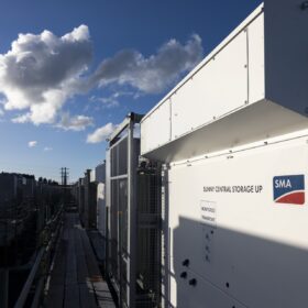
Image: DroneDeploy
Is DroneDeploy only for large-scale projects or can the average punter utilise drones to estimate their own rooftop solar potential etc?
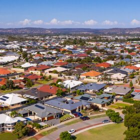
Any business can use DroneDeploy at any scale. For customers that aren’t typically inspecting large swaths of land or vast solar farms, the platform is also well-suited for obtaining accurate roof measurements of a single building, or inspecting a smaller set of panels installed on a residential property.
This content is protected by copyright and may not be reused. If you want to cooperate with us and would like to reuse some of our content, please contact: editors@pv-magazine.com.


1 comment
By submitting this form you agree to pv magazine using your data for the purposes of publishing your comment.
Your personal data will only be disclosed or otherwise transmitted to third parties for the purposes of spam filtering or if this is necessary for technical maintenance of the website. Any other transfer to third parties will not take place unless this is justified on the basis of applicable data protection regulations or if pv magazine is legally obliged to do so.
You may revoke this consent at any time with effect for the future, in which case your personal data will be deleted immediately. Otherwise, your data will be deleted if pv magazine has processed your request or the purpose of data storage is fulfilled.
Further information on data privacy can be found in our Data Protection Policy.